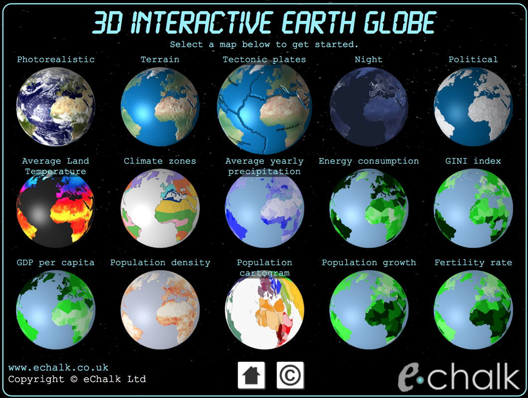
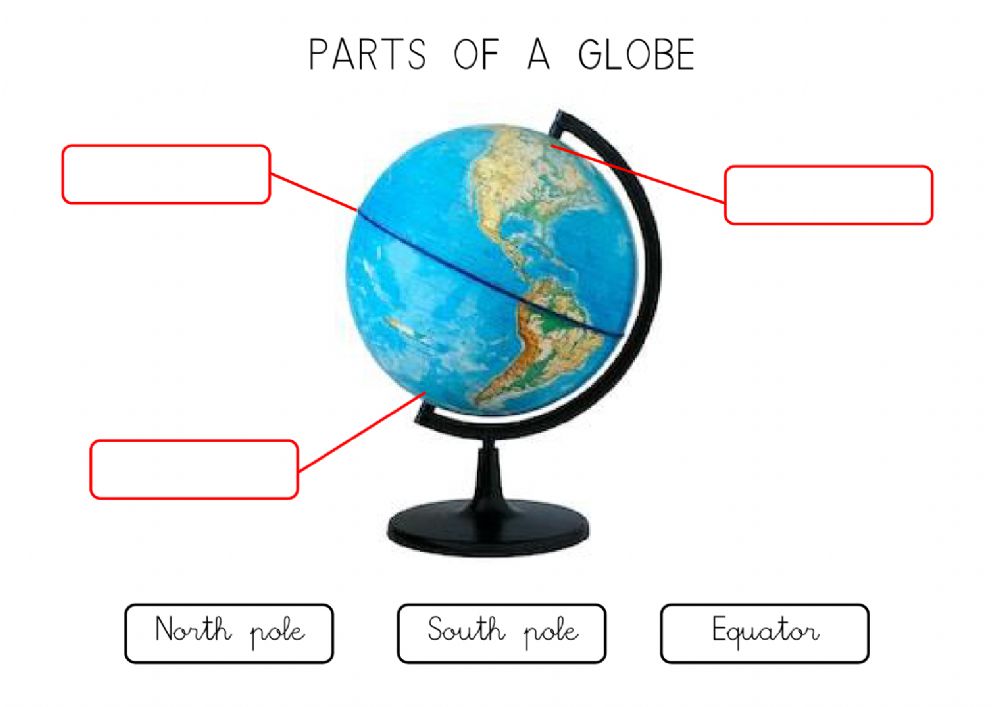
THE INTERACTIVE GLOBE
Click on the image
REFERENCES
Courtesy: https://www.slideshare.net/AhmedAli1815/globe-and-mapes?from_action=save
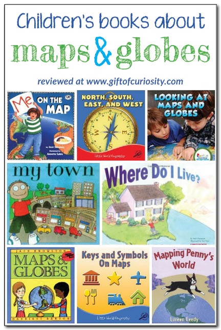
Stories on Maps and Globe
WORKSHEETS
Activities
Directions (Step one):
- Colour and cut out the continents
- Colour and cut out the continent and ocean labels.
- Label the some of the major landmarks located in the continents ( you must have at least 2 in each) for example you could label the Amazon rainforest, make sure you use a dark marker

|
|
Activity 2
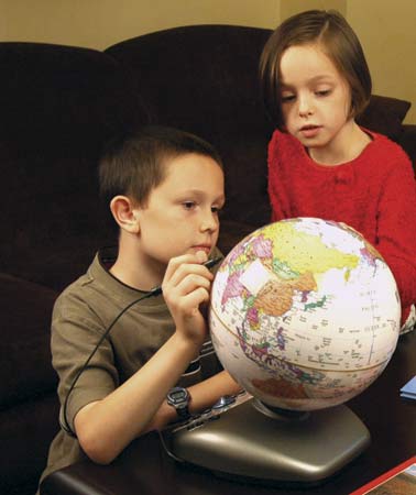
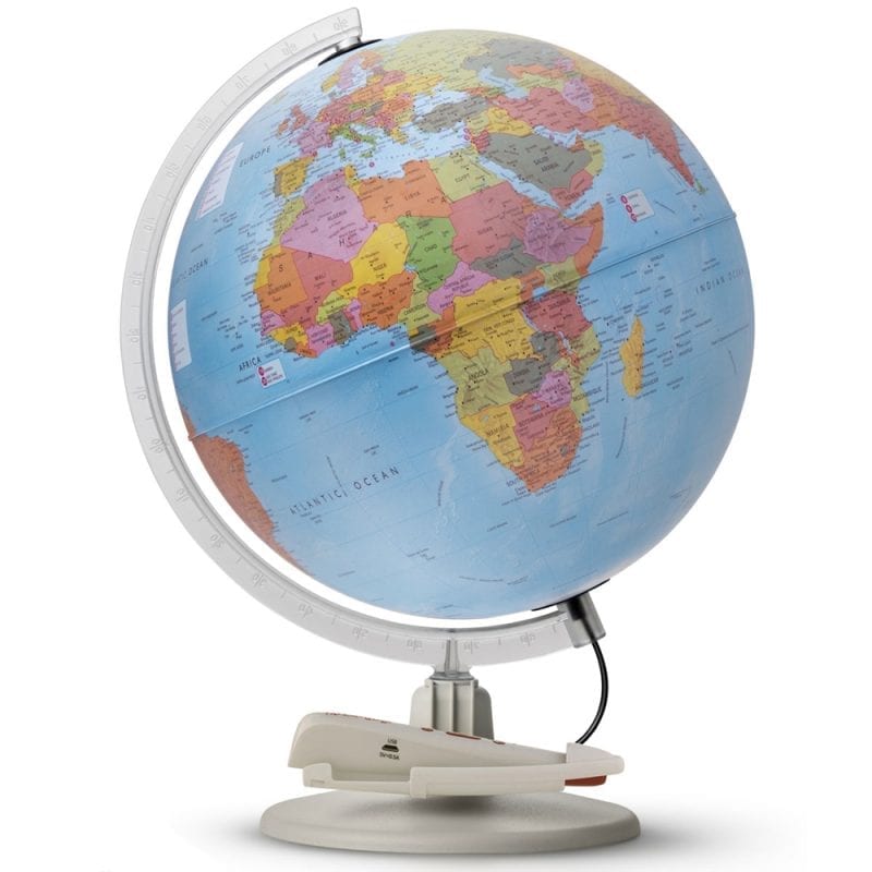
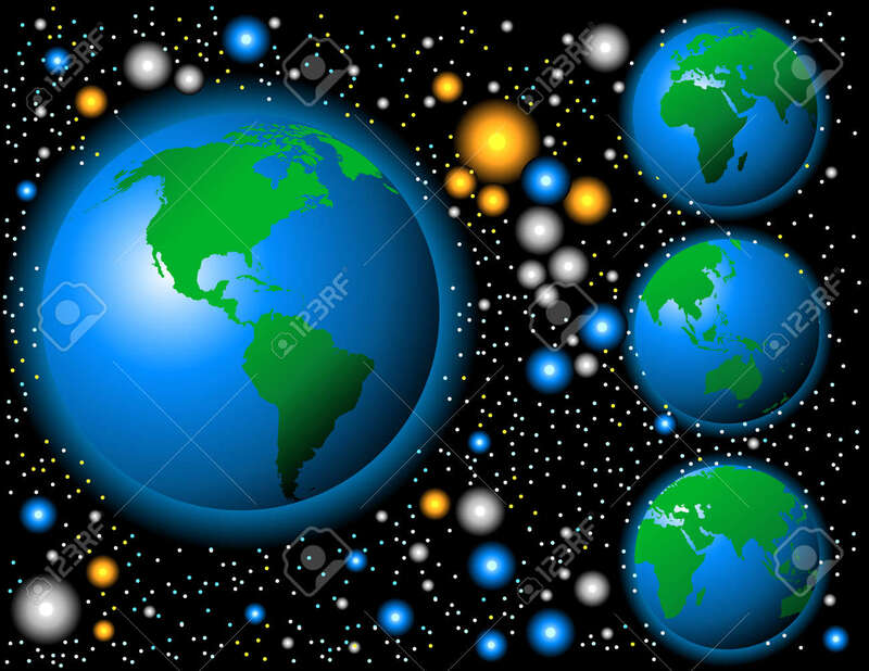
1. Show the students a globe. Discuss how the globe is similar and different from the photo of the earth in space.
2. Give students a clementine and a Sharpie or ball point pen. Ask students to draw some continents of their own design on their clementine. Then students should peel their clementine, keeping the peel whole if possible. Notice and discuss with your partner how the “globe” has
changed when it is made flat.
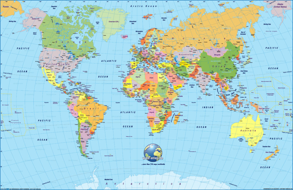
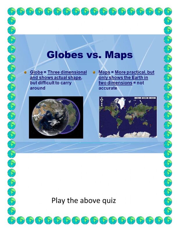
3. Look at a world map. How is it different from the globe? Look at the Hondius map attached to this lesson plan. How is it different from the contemporary world map and the globe? Be sure to point out the round sections, and show how they represent different perspectives on parts of the globe. Why would someone wan t to make a flat map? [It’s more portable, it’s cheaper, it can be easily printed and disseminated]
4. If there is time, print out copies of the globe gores from introduction cartography The documents are also attached to this lesson plan at the end. Students can carefully cut along the edges of the gores and tape to a 10-inch diameter ball to make a globe. This may be best done as a demonstration, as little hands will likely have difficulty with the careful cutting necessary.
5. Students should turn and talk about maps and globe. How are they similar and how are they different? When would you want to use a map and when would you want to use a globe? Then, students complete a Venn Diagram comparing a nd contrasting maps and globes. Glue or tape the Venn diagram on the right (content) side of the ISSN.
Processing Activity:
Imagine you are sailing around the world in a ship. Would you want a map or a globe to find your way? Why?
2. Give students a clementine and a Sharpie or ball point pen. Ask students to draw some continents of their own design on their clementine. Then students should peel their clementine, keeping the peel whole if possible. Notice and discuss with your partner how the “globe” has
changed when it is made flat.
3. Look at a world map. How is it different from the globe? Look at the Hondius map attached to this lesson plan. How is it different from the contemporary world map and the globe? Be sure to point out the round sections, and show how they represent different perspectives on parts of the globe. Why would someone wan t to make a flat map? [It’s more portable, it’s cheaper, it can be easily printed and disseminated]
4. If there is time, print out copies of the globe gores from introduction cartography The documents are also attached to this lesson plan at the end. Students can carefully cut along the edges of the gores and tape to a 10-inch diameter ball to make a globe. This may be best done as a demonstration, as little hands will likely have difficulty with the careful cutting necessary.
5. Students should turn and talk about maps and globe. How are they similar and how are they different? When would you want to use a map and when would you want to use a globe? Then, students complete a Venn Diagram comparing a nd contrasting maps and globes. Glue or tape the Venn diagram on the right (content) side of the ISSN.
Processing Activity:
Imagine you are sailing around the world in a ship. Would you want a map or a globe to find your way? Why?

Videos
|
|
|
|
|
|
|
|
|
